Two back-to-back winter storms are forecast to hit the Northeast this week, bringing strong winds and several inches of snow.
Snow will move through upstate New York and New England on Friday, beginning in Albany in the morning, reaching Boston around 3 p.m.
Snow will continue through rush hour from Burlington, Vermont, to Boston to Portland, Maine, before ending late Friday night.
Boston could see around 2 or 3 inches of snow.
Northern New York, through Vermont and New Hampshire, can expect around 6 inches of snow accumulation on Friday. Maine can expect 3 to 5 inches.

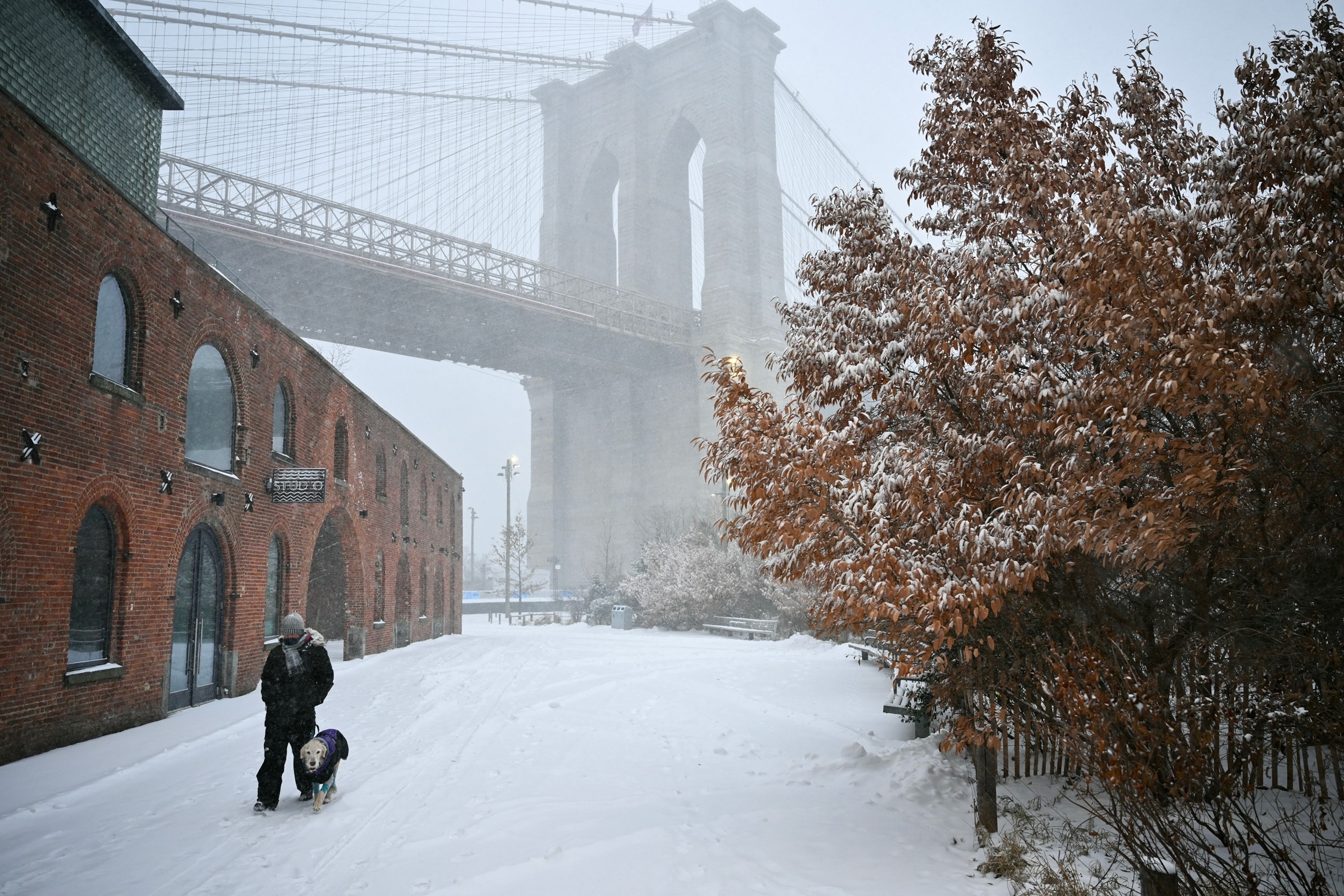
A person and their dog walk near the Brooklyn Bridge as snow falls in New York City, January 25, 2026.
Angela Weiss/AFP via Getty Images
Freezing rain and sleet may lead to slick conditions from Pennsylvania through central Massachusetts on Friday. Drivers should use extreme caution on I-90 and I-80 in the region on Friday and Saturday.
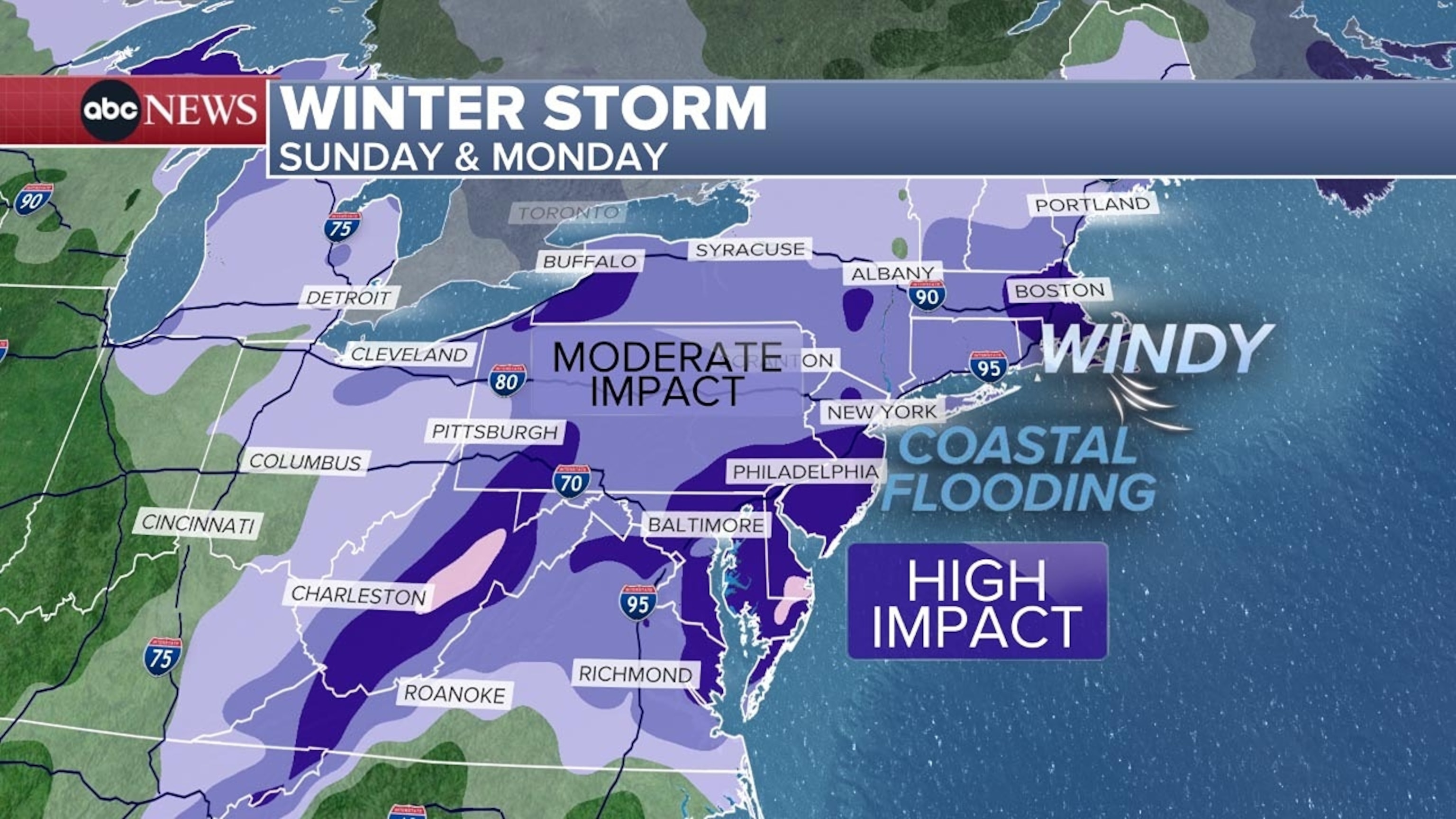
The forecast remains highly volatile and uncertain for Sunday and Monday. Major weather systems swirling around America create significant discrepancies in models because so much is changing as storms evolve across the country.

It is expected to be windy, and high tide is expected to lead to coastal flooding as strong winds will be raising sea levels along the Mid-Atlantic coast, from Maryland through New Jersey and onto Long Island, New York — beginning with high tide around Midnight on Monday morning.
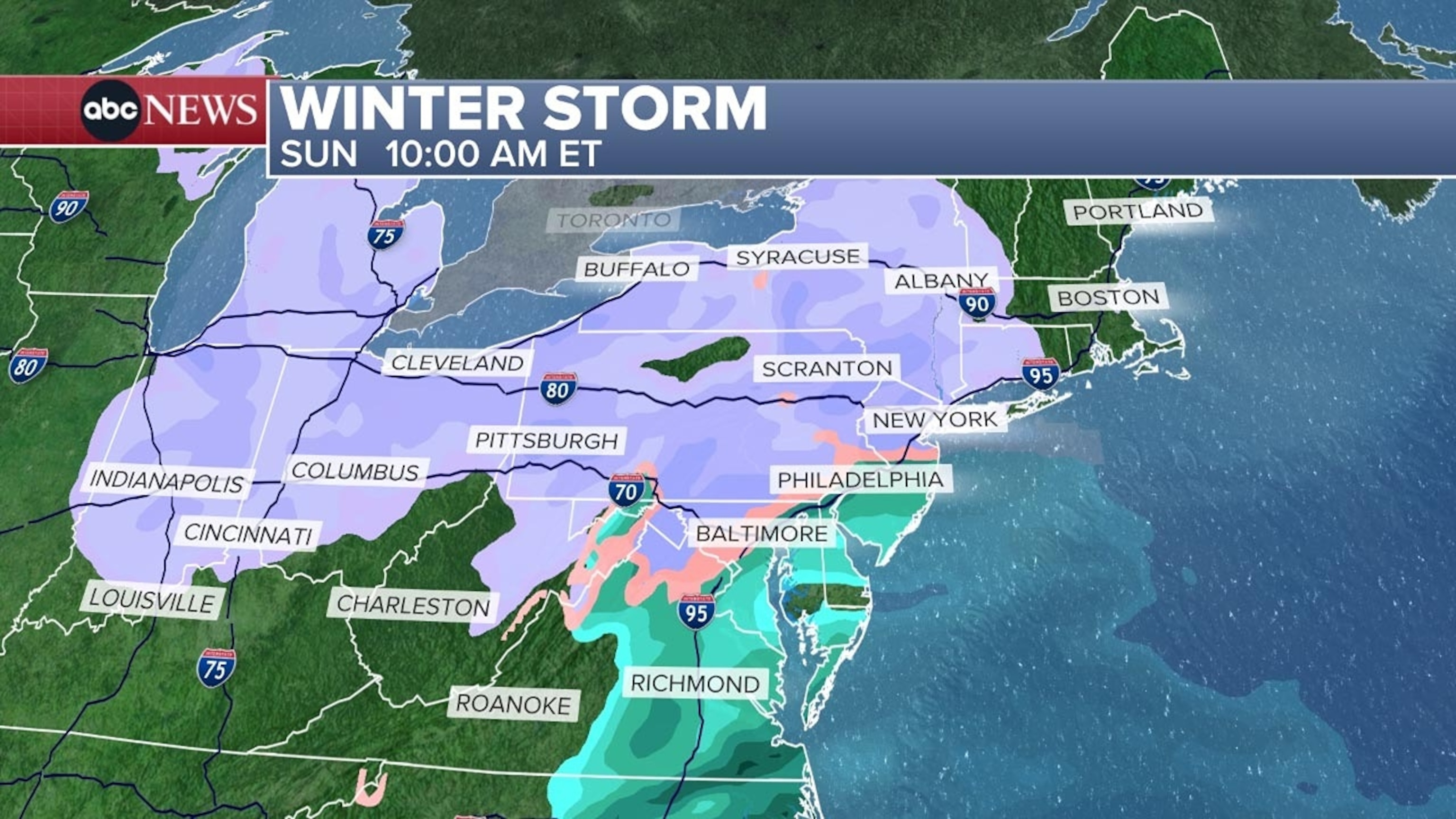
From Washington, D.C., to Philadelphia along the I-95 corridor, there is a chance of 6 or more inches of snow.
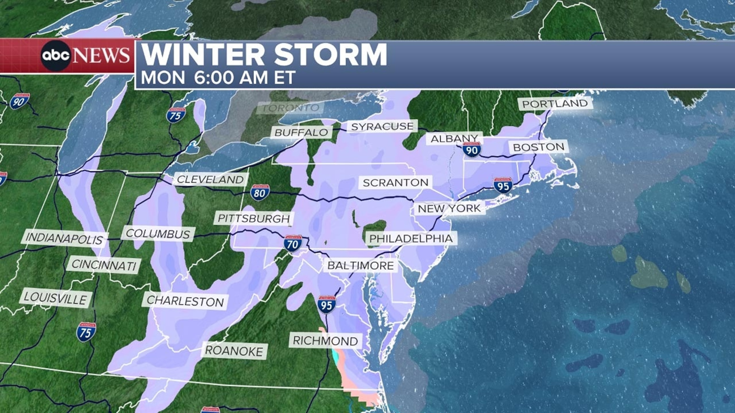
As for New York City, snow is expected, with less than 6 inches likely.


Snow is expected to begin on Sunday morning in New York, and while there will be a few breaks, it will generally snow through Monday evening.


